The forest heart of Odisha
Mayurbhanj is the largest district of Odisha by area, occupying the hills and forests of the state’s north-eastern corner. From the Brahmani and Subarnarekha valleys to the Sal-shaded ridges that climb toward Jharkhand, geography here is dramatic, green, and culturally layered.
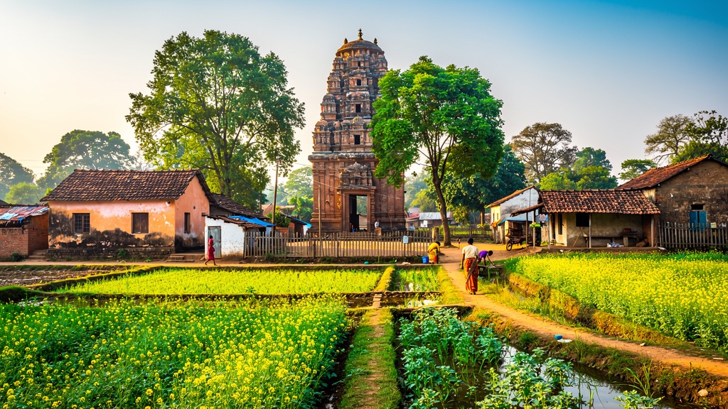
The district capital Baripada sits on the banks of the Budhabalanga river and serves as the gateway for travellers heading into Similipal Tiger Reserve — a UNESCO Biosphere Reserve and Project Tiger site. Beyond Similipal lies a mosaic of tribal villages, ancient temples and mythic pools that tell the story of Odisha beyond the coastal golden triangle of Puri–Konark–Bhubaneswar.
The Bhanja legacyA 1,000-year-old royal lineage
The Bhanja dynasty ruled Mayurbhanj for over a millennium (from roughly the 9th to the 18th century, after which they became a feudatory under the British). They left behind a stunning architectural legacy, most evident in the Kichakeswari Temple at Khiching — a striking black-stone rendition of late Odishan temple architecture. The last ruling king, Maharaja Sriram Chandra Bhanja Deo, was a famous patron of the Chhau dance and continues to be revered as a builder of modern Baripada.
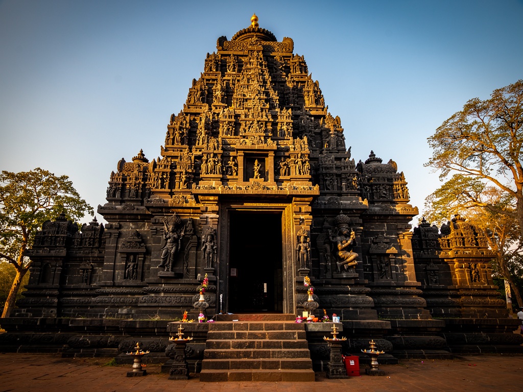
Kichakeswari Temple at Khiching is the architectural signature of Mayurbhanj.
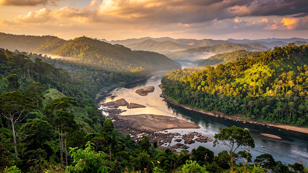
Plateaus, rivers and Sal forests
Mayurbhanj occupies the Eastern Ghats’ northern extension — a rolling plateau with valley gorges carved by the Brahmani, Budhabalanga, Subarnarekha and Similipal’s twin rivers, the Manda and Deo. The terrain is undulating but rarely high — peaks rarely exceed 1,100 m — but it is densely forested, with Sal being the dominant tree.
Average rainfall is around 1,500 mm, mostly between June and September. Winters are cool and mist-laden; summits can be warmer than expected by mid-March.
Santhal, Ho, Bhumij & more
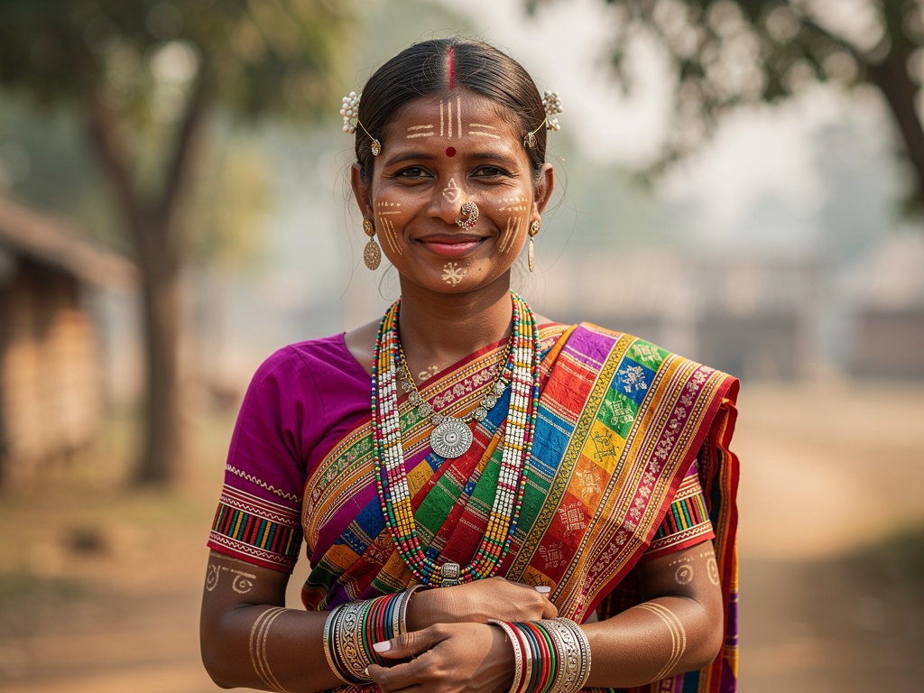
Around 57% of Mayurbhanj’s population belongs to Scheduled Tribes — among the highest tribal populations of any Indian district. The dominant communities are the Santhal and Ho, followed by Bhumij, Khadia, Munda and Lodha. Their cultural practices — harvests, weddings and festivals such as Karma, Sohrai, Magh Parab and Tusu — shape the rural Mayurbhanj calendar.
Travellers who engage respectfully and ethically with these communities are rewarded with rich insights — see our responsible tourism guide before visiting villages or markets.
Seasonal guide for Mayurbhanj
Mayurbhanj — especially Similipal — is highly seasonal. Choose a month to see what to expect.
November — re-opening month
The forest re-opens around 1 November. Post-monsoon lushness at its peak. Bird life is busy, waterfalls are loud. Best for first-timers.
December — cool & clear
Misty mornings, warm afternoons. Best tiger-spotting chances. Book your nature camp well in advance.
January — peak safari
Crisp days, cool nights. Sightings excellent. The Rath Yatra district carnival vibe hasn’t kicked in — traffic inside is moderate.
February — comfortable
Rising temperatures but still pleasant. A balanced choice if December-January are full.
March — warming up
Waterfalls start thinning. Wildlife concentrates near waterholes — the trade-off works in your favour.
April — dry but rewarding
Hot days (30–42°C). Sparse forest cover means better tiger visibility. Carry water; plan jeep safaris for early morning.
May — pre-monsoon
Heat peaks. Waterfalls get skeletal but raptors and ungulates remain visible. Similipal may begin partial closure from mid-June.
July — closed
Similipal core zones typically closed. Some buffer-area waterfalls remain accessible from Baripada side. Verify locally.
October — pre-opening
Last-minute pre-monsoon weather. Lush, but gates typically open only on 1 November. Stay tuned to the official Similipal portal.